Washington County residents and landowners voiced their opposition to a proposal to build a dry dam on the Thomas Creek as part of flood mitigation plans presented by the Papio-Missouri River Natural Resources District (PMRNRD) and the U.S. Army Corps of Engineers (USACE) during a virtual meeting Wednesday.
The proposed dam, known as Dam Site 10 (DS10), is part of the Papillion Creek and Tributaries Lakes, Nebraska General Reevaluation Report to address flood risk issues in order to reduce flood and life safety risks in the Papillion Creek Basin, which includes much of Douglas, Sarpy and Washington counties.
Two other proposals included in the report are Dam Site 19, which would be placed on the South Papillion Creek in Sarpy County and include a lake and recreation area, and new levee floodwall on the Little Papillion Creek in Omaha.
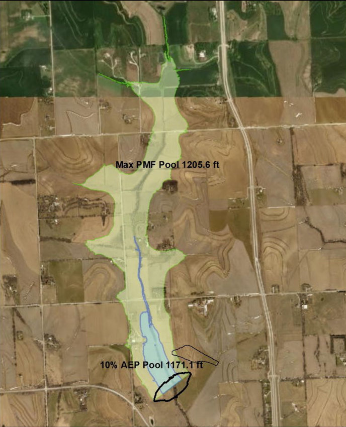
DS10, which was included in the preliminary report as a wet dam, is now designed as a dry dam without a permanent pool. It would be located just west of state Highway 133 and just north of state Highway 36. While the dam itself is not in Washington County, about half of the drainage area could reach across the Washington and Douglas County line, according to the designs provided prior to Wednesday's meeting.
The design consists of a lower level box culvert outlet set near the bottom of the pool with a removable trash rack and concrete pad to accommodate clean-out with a skid loader. The outlet design passes sediment more efficiently to better maintain flood storage, allows for easier clean out of the outlet works and reduces downstream erosion, according to the report.
The total cost for DS10 is estimated at $20.3 million. For all three projects, the total cost is $84.1 million.
While the proposed plan no longer includes a permanent pool, DS10 would still significantly impact Washington County farmland — a point noted by Lisa Kramer, a member of the Washington County Board of Supervisors. At least nine landowners in both Washington and Douglas counties would lose a portion of their land.
Kramer questioned the economic benefits of the project for Washington County, to which she said there is none.
“That is true because that is the protection and the flood risk that that structure is providing,” PMRNRD project manager Amanda Grint said. “It would only be providing protection downstream of the structure itself. There wouldn't be any economic benefits calculated up above the dam structure.”
Many of the property owners directly affected by the proposal voiced their concerns about losing their farmland, some of which has been in their family for generations.
Tyler Mohr, whose property would be affected by the proposed dam, questioned why the dam elevation was raised after the dam was changed from wet to dry.
“In changing the dam site from a wet dam to a dry dam within this study, common sense would suggest it would be a smaller footprint by eliminating the permanent pool. … This now displaces several families and significantly increases the size of the area to be taken by eminent domain,” he said.
Landowner Larry Cotton said he has not seen a flooding issue on the Thomas Creek, which is a tributary for the Little Papillion Creek.
“Thomas Creek has not gone out of its banks in the 30 years I've lived here,” he said. “In fact, it is much lower than it was.”
Before construction can begin on any of the projects, the PMRNRD and USACE must receive congressional authorization. The earliest that could happen is 2022. Construction could begin in 2024 and be complete by 2029.
No further public meetings will be held on the study. For more information or further comment, the PMRNRD and USACE provided the following email: cenwo-planning@usace.army.mil.